Train AI for Geospatial Intelligence with Unlimited Synthetic Data Generation. Overcome Data Limitations, Enhance Outcomes, and Reduce Costs.

Challenges in Geospatial Intelligence
Rapid synthetic data generation is a powerful tool for geospatial intelligence professionals facing computer vision training challenges, such as:
- Data Scarcity
- Restricted Use or Sensitive Data
- Lack of Diversity in Real Datasets
- Inaccuracy and Expense of Data Labeling
- Inefficient Workflows Across Multiple Platforms
Learn more about the problems hindering innovation in geospatial intelligence in this interview with Chris Andrews, a 25-year veteran of the geospatial industry.
The Solution for Geospatial Intelligence Professionals
With a monthly subscription to the Rendered.ai PaaS, geospatial intelligence professionals can:
- Quickly generate unlimited physics-based synthetic datasets to train AI and ML algorithms to identify specific objects in imagery, control sets, edge cases, and unusual scenarios.
- Share 3D assets, sensor models, and datasets in a collaborative, cloud-based environment.
- Use their simulator or access best-in-breed simulators like Blender, RIT’s DIRSIG, NVIDIA Omniverse Replicator, and more.
- Access data at a fraction of the cost of real datasets.
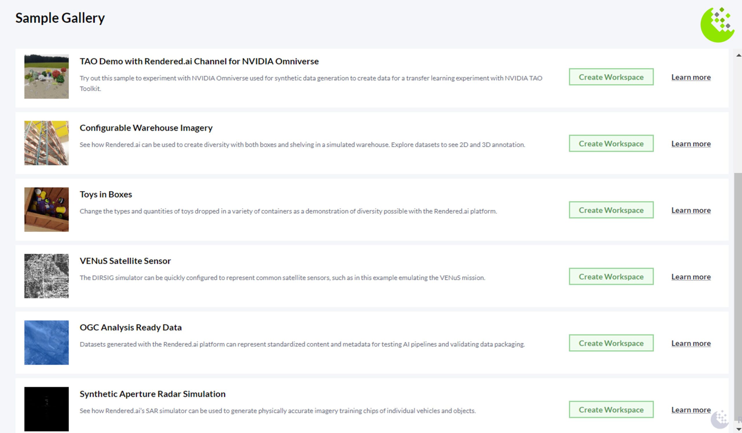
Activate a free trial of the Rendered.ai PaaS to further explore physics-based synthetic data for geospatial intelligence.
What is Physics-Based Synthetic Data?
Many users are becoming familiar with the concepts of generating data from existing data using Generative AI. For training and validating algorithms that will work with real sensor-based data, such as highly specific remote sensing satellite imagery, there is a big difference between Generative AI-created datasets and physically accurate data simulated using models of physical systems.
At Rendered.ai, we focus on helping customers create physics-based synthetic data using techniques such as 3D modeling and mathematical models to create datasets that can be validated and used as if they were sensor-collected data. Physical accuracy is paramount in training computer vision models for reliable geospatial intelligence.
Learn more about why physics-based synthetic data is so beneficial for training AI and ML systems in this blog.
Synthetic Data in Action
See how other businesses use synthetic data generation to boost performance, improve accuracy, and unlock new possibilities in their AI projects.
Empower Your Projects with Synthetic Data
Enhance your AI projects with the power of synthetic data. Boost performance, improve accuracy, and unlock new possibilities.


